Built in Portland, watching forests from orbit
Biodivex is three people in Portland solving a specific detection problem: the available satellite monitoring tools had minimum patch sizes around 1 hectare and detection lags of two to four weeks. Small-scale illegal clearing — the kind that happens at 0.3 hectares at a time — was consistently invisible until it had already expanded.
A gap in the monitoring toolkit
Biodivex began when Rohan Pillai and Maren Solberg were running geospatial data pipelines at a Portland-based environmental consultancy. Their clients were conservation organizations and NGOs monitoring forest cover in areas where field access cost more per hectare than the data budget allowed. The monitoring tools available at the time — including established deforestation alert platforms — flagged clearing events, but with detection lags of two to four weeks and minimum patch sizes around 1 hectare. Clearing events at 0.3 to 0.6 hectares were below detection threshold. By the time an alert fired, the event had usually expanded to the point where legal documentation of the original boundary was impossible.
The detection approach Rohan and Maren built uses a different spectral logic: rather than pixel-level classification, it tracks band-delta signatures — specifically the NIR reflectance drop and SWIR reflectance rise that occur when forest canopy is removed and bare soil is exposed. Running those comparisons against a continuously updated 6-week cloud-free baseline, with Sentinel-1 C-band SAR corroboration for sites under persistent cloud cover, the system could reliably flag 0.3-hectare patches within 48 hours of a Sentinel-2 overpass. That became the Biodivex detection core.
Biodivex was founded in Portland, Oregon in 2025. We are bootstrapped, independent, and focused on a specific problem: detection precision and latency for conservation-critical land-cover change. We are not a general-purpose geospatial analytics platform — we don't do flood mapping, crop yield forecasting, or urban expansion analysis. We do one thing: tell you when your forest changed, where, by how much, and how confident the detection is.
Three people, one focused problem
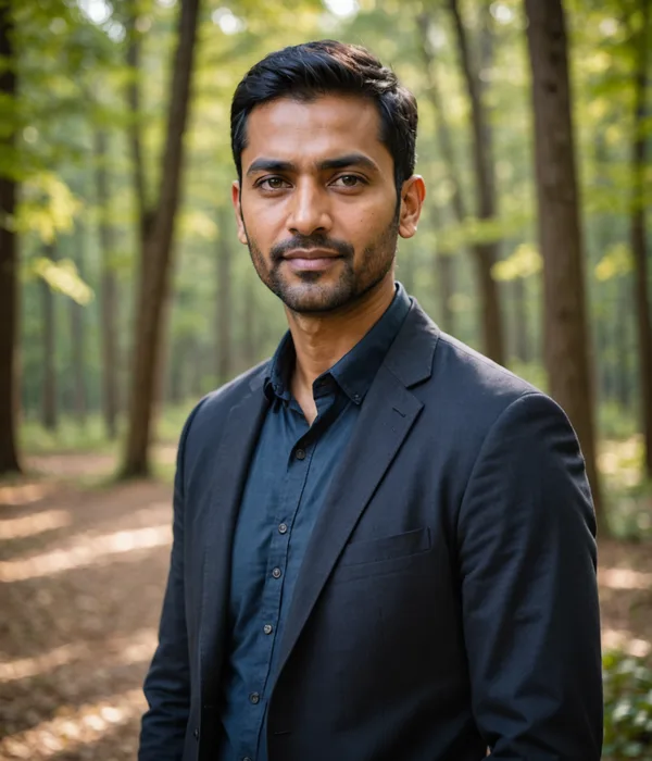
Rohan Pillai
CEO & Co-Founder
Remote sensing scientist specializing in tropical forest canopy change detection and multispectral time-series analysis. Spent five years building geospatial data pipelines for conservation clients at a Portland environmental consultancy before co-founding Biodivex to solve the sub-hectare detection gap those clients kept hitting.
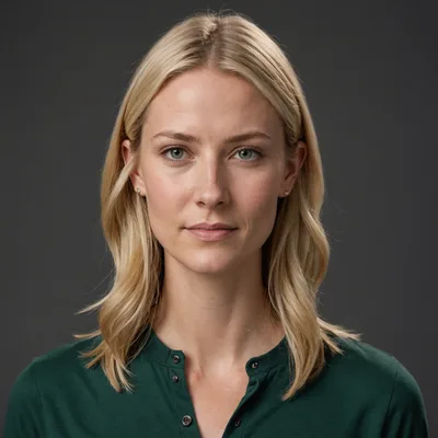
Maren Solberg
CTO & Co-Founder
Satellite imagery processing engineer with a focus on spectral change detection algorithms and Cloud-Optimized GeoTIFF pipelines. Designed and built the NIR/SWIR band-differencing engine and biome-class threshold calibration system at the core of Biodivex's detection pipeline.
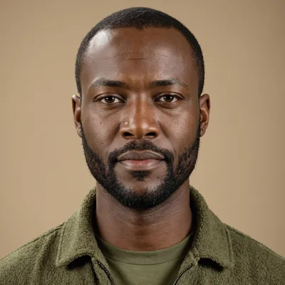
Dayo Okafor
Head of Conservation Partnerships
Ten years with land trusts and conservation NGOs across Latin America and West Africa — coordinating patrol data, incident documentation, and land tenure enforcement. Translates the gap between a detection polygon and a field response into concrete workflows for each partner organization.
Operating principles
Detection, not decoration
We don't build satellite dashboards with aesthetic false-color composites and no actionable output. The product is the detection record: polygon, area, confidence score, band deltas, biome class. If a feature doesn't improve detection accuracy, reduce false positive rate, or reduce delivery latency, it doesn't ship.
Open data where possible
Sentinel-1 and Sentinel-2 are openly licensed ESA programs. Landsat is USGS open data. We build on public investment in Earth observation and credit the programs explicitly in our documentation.
Precision over recall
A false alert costs conservation teams time and credibility. We tune our detection threshold to favor precision — a missed alert is expensive, but a false alarm directed at the wrong landowner is worse. We are explicit about uncertainty in our confidence scores.
Conservation organizations get cost pricing
Land trusts and conservation NGOs operate on restricted budgets. We offer cost pricing for qualified conservation organizations — not as marketing, but as a documented policy commitment.
Questions about methodology, pilots, or pricing
Reach us directly at [email protected] — Rohan or Dayo will respond.