The deforestation event happened Tuesday. You'll know by Thursday.
Biodivex processes Sentinel-2 multispectral passes to flag land-cover changes at 0.3-hectare resolution — before a ranger patrol reaches the site.
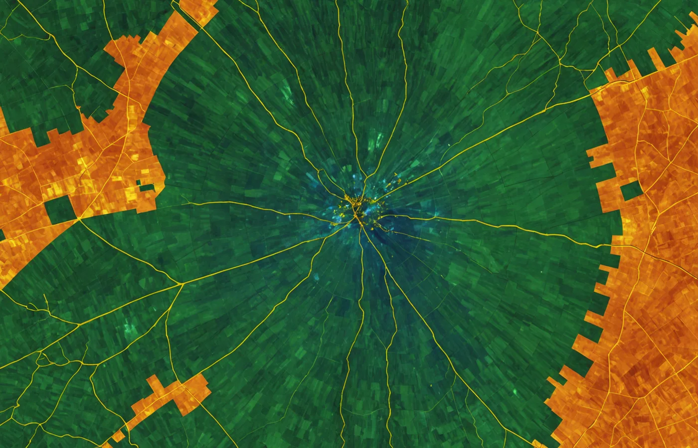
How the detection pipeline works
Three steps from satellite pass to actionable alert.
Ingestion
Sentinel-2 Level-2A surface reflectance pass ingested every 5 days. Sentinel-1 SAR for cloud-penetrating corroboration on tropical and wetland sites.
Spectral analysis
Band differencing on NIR (B8), SWIR1 (B11), SWIR2 (B12) against a 6-week rolling baseline. Threshold tuned per biome class. Change polygons via watershed segmentation.
Alert delivery
Change polygons above threshold pushed to dashboard, REST API (GeoJSON), or webhook. Each alert carries polygon ID, area, confidence score, and band signatures.
A detection alert is a machine-readable evidence record, not a map marker
Each event carries the GeoJSON polygon boundary, area in hectares, confidence score weighted by cloud-free observation count and SAR corroboration, band delta values for NIR and SWIR, and biome class. The record is ready for legal documentation or direct ingestion into a GHG inventory system.
See the full detection pipelineNear-real-time field response
Land trusts and conservation NGOs have historically discovered clearing events weeks after the fact — during the quarterly aerial survey or when a patrol happens to pass. By then, enforcement is reactive at best.
Biodivex alerts arrive within 48 hours of the satellite pass. The polygon coordinates are ready for legal documentation before a ranger has reached the site.
Parcel-level evidence for EUDR and Scope 3
Annual satellite snapshots aren't sufficient for the EU Deforestation Regulation or Scope 3 supply chain disclosure. ESG teams need a continuous, date-stamped, parcel-level evidentiary record.
Biodivex provides GeoJSON polygon records with timestamps, confidence scores, and band signatures — the technical documentation that compliance frameworks require.
Sensor inputs to the detection pipeline
What practitioners say
We used to find out about clearing events during the quarterly aerial survey. Now we know within two days and have the polygon coordinates ready for legal action.
Field Conservation Director, Pacific Northwest land trust
Our Scope 3 deforestation disclosure had a credibility problem — annual satellite snapshots aren't enough for EUDR evidence. Biodivex gives us the parcel-level, date-stamped record we needed.
Sustainability Data Lead, agricultural commodity trader
Define an area of interest and see what the last Sentinel-2 pass shows
Tell us the geography, biome type, and minimum detectable clearing size you need — we'll confirm sensor coverage, revisit frequency, and expected confidence scores for your AOI.