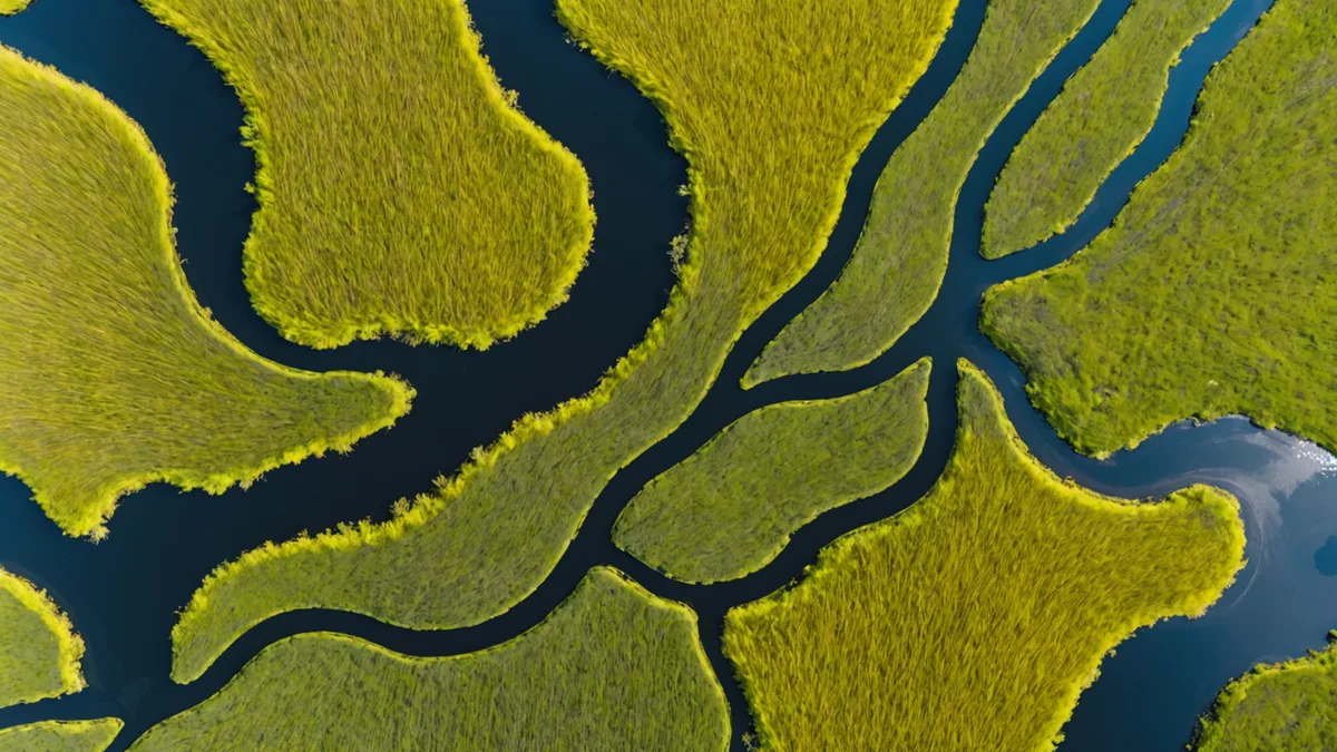
Wetlands are among the most difficult terrain types to monitor from satellite. They're often cloud-covered for extended periods, the line between "open water," "flooded vegetation," and "moist soil" shifts on tidal, seasonal, and weather-driven timescales, and the change events that matter — drainage for agriculture, peat extraction, hydrological isolation from infrastructure — can be subtle at first before becoming catastrophic. A reed bed can look perfectly intact in a June optical image while its hydrology has been fundamentally altered by a drainage channel dug in April. The optical sensor missed it because the canopy hadn't changed yet.
This is why SAR-optical fusion isn't just a nice-to-have for wetland monitoring — it's close to a prerequisite for reliable change detection in this land cover type. Here's the case for why, and where the practical tradeoffs sit.
What SAR Sees That Optical Cannot
Synthetic aperture radar operates at microwave wavelengths that pass through cloud cover and, depending on frequency, through vegetation canopies. Sentinel-1 operates at C-band (approximately 5.6 cm wavelength), which provides high spatial resolution (10m IW mode) and reliably penetrates cloud. This makes it invaluable for monitoring regions with persistent cloud cover — the Congo Basin, Southeast Asian peatlands, tropical coastal mangroves — where optical sensors like Sentinel-2 may produce cloud-free composites only a handful of times per year.
For wetland specifically, C-band SAR has a distinctive behavior: smooth open water surfaces produce very low backscatter (the radar signal is specularly reflected away from the sensor), creating a dark signal in the SAR image. Flooded vegetation — emergent reeds, flooded forest, inundated grassland — produces anomalously high backscatter due to the "double-bounce" effect: the radar signal bounces off the water surface, then reflects off the vertical vegetation stems back toward the sensor. This double-bounce signature is often 5-10 dB higher than dry vegetation, making it a reliable indicator of flooding extent.
When a wetland is drained, the double-bounce signature disappears — not because the vegetation is gone, but because the water table has dropped below the point where the double-bounce can occur. This is a change that optical sensors will not detect until the vegetation community itself begins to shift, which can take months to years after the hydrological change.
What Optical Sees That SAR Cannot
C-band SAR has real limitations in wetland mapping. The backscatter response is sensitive to surface roughness and soil moisture as well as inundation, which means saturated but not inundated soils can produce elevated backscatter signatures that resemble flooded conditions. Wind-roughened open water can produce higher backscatter that reduces the contrast between water and land. And critically, SAR backscatter does not directly distinguish between vegetation species — all you know is the structural geometry of the canopy as it interacts with microwave radiation.
Optical multispectral data from Sentinel-2 fills this gap. The NIR (Band 8, 842nm) and red-edge bands (Bands 5, 6, 7) are highly sensitive to chlorophyll content and plant water content in a way that SAR is not. NDWI (Normalized Difference Water Index, typically (NIR - SWIR1) / (NIR + SWIR1)) is a reliable open water indicator in optical imagery. Species composition in wetland vegetation communities is frequently distinguishable in multispectral data — reed beds have different spectral signatures than sedge meadows, which differ from flooded shrubland. This matters because different communities have different conservation value and different vulnerability to drainage.
Optical data also captures surface color information — turbid versus clear water, algal blooms, burn scars in adjacent upland vegetation — that SAR cannot retrieve. For monitoring the full ecological condition of a wetland rather than just its inundation state, optical is irreplaceable.
L-Band Versus C-Band: The Penetration Tradeoff
A common question is why we work primarily with C-band (Sentinel-1) rather than L-band SAR. L-band operates at approximately 24 cm wavelength, which provides substantially deeper penetration into forest canopies. For monitoring flooded forest — intact closed-canopy forest that is seasonally or permanently inundated — L-band is significantly more effective than C-band, because the longer wavelength can penetrate through the upper canopy and interact with the stem-water double-bounce even under dense canopy cover. C-band is partially or fully attenuated by dense forest canopy, which means flooded conditions beneath a closed canopy may not show the expected signature in Sentinel-1 data.
The practical constraint is availability. Sentinel-1 is free, global, and archives back to 2014 with consistent acquisition parameters. The ALOS-2 PALSAR-2 L-band archive is commercially licensed, with limited free access, and has coverage gaps. NASA's NISAR mission (once fully operational) will provide free global L-band coverage that will substantially change what's possible for flooded forest monitoring. For now, C-band is the pragmatic choice for operational monitoring at scale, with the understanding that it performs better on open marsh, intertidal, and shallow-flooded systems than on densely canopied flooded forest.
The Fusion Logic: Agreement and Disagreement Between Sensors
The core logic of SAR-optical fusion for wetland change detection is not simply "average the two signals." It's using the agreement and disagreement between sensors as a diagnostic. Consider four states:
- SAR change + optical change: High confidence. Both sensors detected something. The character of the optical change (NIR-SWIR spectral direction) tells you whether it's drainage, vegetation removal, or burning.
- SAR change, no optical change: Hydrological change without vegetation change. This is the early warning signature — drainage that has altered inundation state before the plant community responds. High-value alert for intervention.
- No SAR change, optical change: Could be vegetation phenology (seasonal greening/senescence), cloud artifact, or a surface condition change that didn't alter inundation (e.g., fire in adjacent upland that changes the optical baseline without affecting wetland hydrology). Lower confidence — needs contextual verification.
- No change in either sensor: No change detected. This is also informative — if both sensors return stable signals, confidence in that stability is higher than from either sensor alone.
In our operational pipeline, the SAR-only change signals (state 2) generate alerts with a "hydrology-only" flag that prompts a review of the next available optical pass — typically within 5 days for Sentinel-2 at most latitudes. This allows us to identify early drainage events before the vegetation community has responded, which is precisely the window when intervention is most feasible.
False Positive Reduction in Practice
One of the most consistent benefits we've seen from fusion is the reduction of false positives driven by optical cloud contamination and SAR wind effects. In a pure optical system, thin cirrus cloud or partially cloud-contaminated pixels can produce NDVI drops that resemble vegetation disturbance. In a pure SAR system, wind events over open water produce elevated backscatter that can resemble inundation onset. When these artifacts occur in one sensor but not the other, the disagreement itself is a flag that something non-ecological is causing the apparent change.
In a coastal wetland monitoring program covering approximately 45,000 hectares of tidal marsh and brackish lagoon, running fusion rather than either sensor alone reduced the alert false-positive rate from roughly 22% (optical only) or 18% (SAR only) down to approximately 7%. That reduction matters operationally: conservation field teams have finite capacity, and every false-positive verification trip is time and budget not spent on real threats.
We're not suggesting that 7% is the theoretical floor — it's what we observed in one specific system under specific conditions. The actual performance will vary with vegetation type, tidal range, SAR acquisition geometry, and cloud regime. But the directional benefit of fusion over single-sensor approaches has been consistent across the wetland contexts we've worked in.
Where Fusion Falls Short
There are wetland contexts where SAR-optical fusion still struggles. Mangrove forests with complex three-dimensional structure create SAR volume scattering signatures that are difficult to interpret definitively. Peat swamp forests in Southeast Asia present dense canopy that limits C-band penetration while also being chronically cloud-covered. Highly dynamic tidal systems with short-period inundation cycles can appear different in a single overpass depending on tidal stage at the time of acquisition — generating apparent change signals that are actually tidal variation rather than anthropogenic disturbance.
For these contexts, the practical approach is to use multi-temporal compositing — building a phenological baseline over a full seasonal cycle before flagging departures — rather than relying on single image-pair change detection. The 6-day Sentinel-1 revisit and 10-day Sentinel-2 revisit (5 days with both satellites in the constellation) make this compositing approach feasible for almost any region on earth, which is a significant improvement over what was possible with pre-Sentinel archives.
The tools are getting better. The fundamental principle — that microwave and optical observations are complementary rather than redundant — is not going to change regardless of which sensors we're working with.